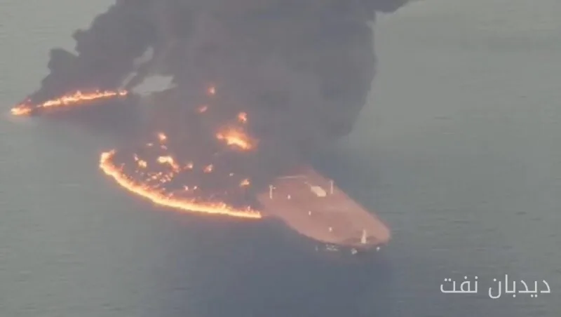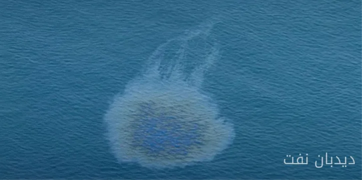
SkyTruth's new analysis indicates that ships are recognized as the main cause of oil pollution in oceans. According to this analysis, approximately 1.58 million square kilometers of ocean surface is affected by oil pollution each year, with over 90% occurring in national waters and near coastlines.
Key Information from the Analysis
Analysts, by combining Sentinel-1 radar images collected between 2023 and 2025 and data from the Cerulean monitoring platform, estimate that 81% of oil pollution areas attributable to ships are involved. These ships include those with AIS tracking and 'dark' ships that operate without visible tracking signals. Commercial vessels are the predominant type of ships associated with oil pollution.
Read more: Major Investments in Solar Energy in Georgia
Pollution Hotspots
Pollution hotspots include the Red Sea, Persian Gulf, Mediterranean Sea, Black Sea, waters off West Africa, and around Indonesia. Additionally, the analysis has shown that certain flags, such as Palau, Panama, Malta, and Cyprus, have disproportionately appeared relative to their fleet size, raising concerns about the monitoring of national flags.
This analysis has identified 16 individual ships that are linked to oil pollution in over 10% of the observed passages via satellite, as well as several offshore facilities, particularly around Indonesia and Nigeria.
Marine protected areas generally have better conditions, with about 75% of them recording lower pollution concentrations compared to their surrounding waters, although sensitive habitats in the Black Sea and Gulf of Mexico remain affected.
Karl Vester, SkyTruth's technology director, stated that chronic oil pollution is significantly greater than the oil spills that make headlines. This report also highlights a major blind spot: limited satellite coverage in open seas means that vast areas are poorly monitored, while ambiguous ship ownership structures complicate accountability.
Read more: Why Vegan Leathers Have Become a Dilemma in the Fashion Industry? · Ibrahim Azizi: The Remote Security Doctrine Has Replaced Iran's Previous Perspective