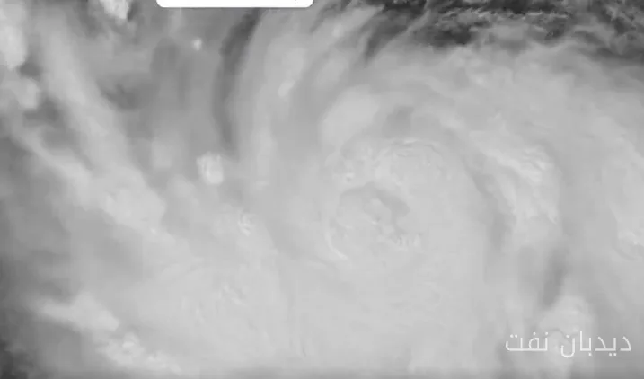
The tropical storm "Polo" has rapidly transformed into a dangerous Category 5 hurricane on the Pacific coast of Mexico in less than 24 hours. This storm is currently one of the most powerful storms ever recorded in this basin and is considered one of the fastest-forming storms in history.
Rapid Transformation of the Storm and Its Intensity
On Monday morning, Polo was recognized as a tropical storm with an intensity of about 45 knots. However, by Tuesday, after an extraordinarily rapid period of intensification, the storm reached sustained winds of 140 knots. According to experts, this increase in intensity is remarkably significant.
The Polo hurricane has not undergone significant changes in the past 6 to 12 hours and is currently over an area of warm waters. These warm waters provide sufficient "climatic fuel" to sustain a Category 5 hurricane for an extended period.
Future Predictions and Its Impacts
Forecasters at the National Hurricane Center (NHC) predict that this storm will maintain its strength for several days. This is due to the presence of very warm waters resulting from the El Niño phenomenon and also the existence of low vertical winds. Intensity forecasts indicate that the storm's wind speeds will not drop below 125 knots by September 25.
Storm warnings have been issued for areas near the western coasts of Mexico, and heavy rainfall may have dangerous impacts on the coasts, including flash floods and landslides. Additionally, the moisture generated by the storm has caused heavy rainfall even in New Mexico, located about 1,000 miles north of this position.
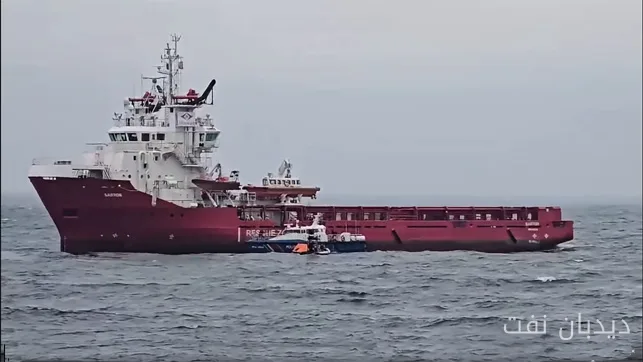
It is expected that the steering forces of the storm will gradually guide it northwest in the coming days, so the storm may gradually move away from the coasts of Baja California. The storm may temporarily disrupt maritime traffic on routes associated with the port of Manzanillo, the largest Pacific port in Mexico, forcing ships to move further away from the shores.
AIS data provided by Pole Star Global indicates that the routes chosen by ships to avoid the storm's path are changing, with most of them distancing themselves from the storm's winds and waves.