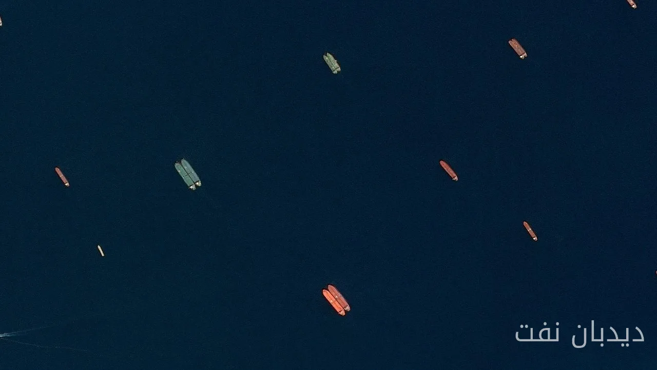
Kpler, a marine data provider, has signed an agreement with Airbus to expand its ability to track ships that go off conventional tracking systems. This agreement includes the integration of satellite imagery from Airbus's SPOT Earth observation satellites with Kpler's existing ship tracking network.
Features of the New Technology
This service utilizes high-resolution satellite images with a precision of 1.5 meters and a width of 60 kilometers, and by combining it with artificial intelligence, it enables the identification of ships at sea and in ports. This technology addresses the growing challenges in maritime tracking and allows analysts to determine whether a ship has deliberately turned off its AIS (Automatic Identification System) signal or if its reported position has been affected by interference with satellite navigation systems.
Read more: Completion of the USNS Amelia Earhart Repair and Restoration Project by HJ Heavy Industries
The Importance of Detecting Interference and Fraud
This distinction becomes more significant in situations where AIS fraud, GPS disruption, and other forms of electronic interference create complexities in tracking ships in major transportation corridors, especially around conflict areas. In its previous analyses, Kpler has identified the Persian Gulf and the Strait of Hormuz, the Black Sea, the Baltic Sea, and the Red Sea as maritime areas affected by navigation signal interference.
Jean-Charles Gordon, Vice President of Kpler for Marine and Logistics, stated that combining AIS information with satellite imagery and other independent sources can provide a clearer picture of maritime activities to shipping companies and governments. This new capability could be useful in monitoring sanctions evasion and shadow fleet operations, where ships sometimes manipulate or deactivate their AIS signals.
Kpler states that its existing network collects billions of AIS messages daily, and this collaboration with Airbus adds another source of information that is not reliant on electronic transmissions. This allows analysts to verify a ship's actual location even when its electronic tracking is unavailable or misleading.
Read more: China Conducts First Commercial Shipment of Green Ammonia from Ship to Ship · Smart Fuel System Manager Announces Details of Transaction Identification Plan