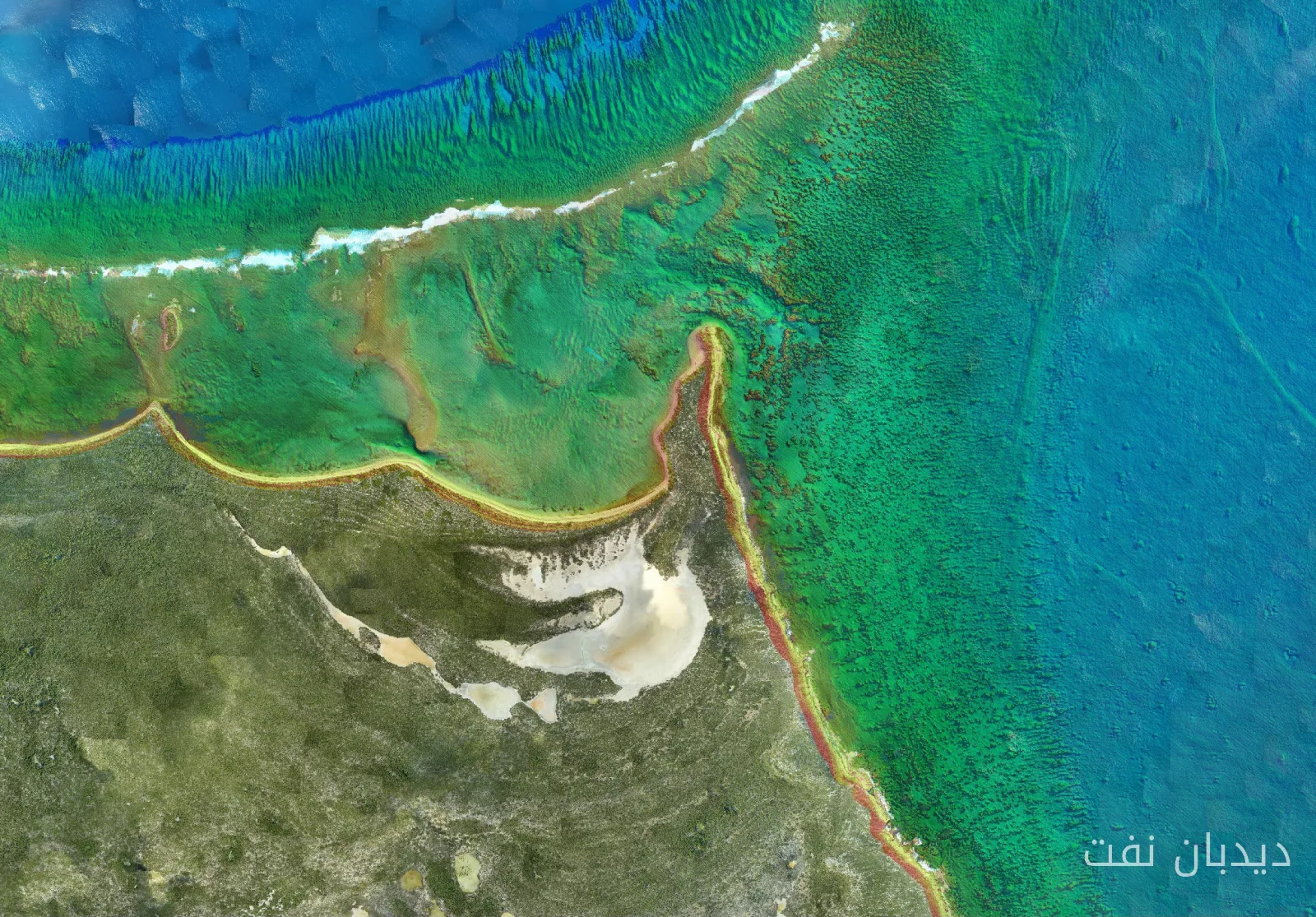
Fugro has been selected as the new contractor for the National Oceanic and Atmospheric Administration (NOAA) to provide critical seabed mapping data in the Atlantic Ocean waters off Florida. This data will enhance navigation safety, marine operations, and the updating of nautical charts in one of the busiest coastal areas in the United States.
Contract Details and Areas of Work
Under this contract, Fugro will conduct hydrographic surveys over approximately 3,200 square kilometers of Florida's Atlantic waters. The data collected will be used by NOAA's Coastal Survey Office to update nautical charts that support commercial operations, government activities, and recreational boating. These activities are vital for the regional economy.
The Importance of Seabed Data in Maritime Safety
As severe storms and commercial expansions rapidly change Florida's coastlines, accurate seabed data is essential for maritime safety and economic stability. NOAA's continuous hydrographic updates directly prevent billions of dollars in trade along the Atlantic and Gulf waterways and help avoid grounding in shallow waters. This data is also crucial for preserving vulnerable marine ecosystems.
Selin Jarsan, Fugro's Americas Group Director, stated, "Reliable geospatial data is essential for navigation safety, efficient marine operations, and understanding changes in our coastal environments. We are proud that NOAA has once again chosen Fugro to support this important work." By combining our expertise in hydrography, advanced mapping technologies, and data analysis, we are helping to provide accurate information that mariners, coastal communities, and decision-makers rely on.
This project is based on Fugro's long-standing relationship with NOAA and follows recent hydrographic survey work conducted by the company in the Gulf of Florida. Fugro has supported marine mapping initiatives across Florida and the United States. As part of Florida's seabed mapping initiative, Fugro has contributed to mapping over 56,000 square kilometers of Florida's waters, helping to create one of the most comprehensive seabed data collections in the region.